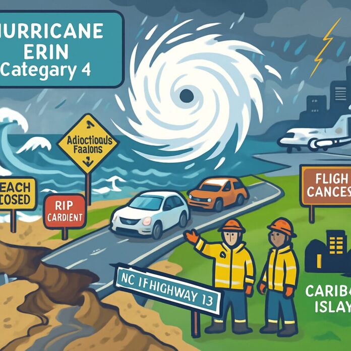
Executive Summary: Hurricane Erin has reintensified to Category 4 strength and expanded dramatically in size, generating life-threatening rip currents and high surf along the U.S. East Coast despite remaining offshore. Authorities have ordered evacuations in vulnerable coastal areas as the storm’s wide-reaching effects threaten to erode beaches and damage critical infrastructure.
Storm Development and Current Status
Hurricane Erin, 2025’s first Atlantic hurricane, rapidly intensified to a catastrophic Category 5 storm on Saturday with 160 mph winds before weakening. By early Monday, it had regained strength as a Category 4 hurricane with 130 mph sustained winds. The storm’s wind field expanded significantly, with hurricane-force winds extending 60 miles from its center and tropical-storm-force winds reaching 230 miles outward – an area forecast to keep growing.
Geographic Impact and Trajectory
As of 5 a.m. Monday, Erin was located approximately 915 miles south-southeast of Cape Hatteras, North Carolina, moving northwest at 13 mph. While the storm’s core remains offshore, its enormous size ensures impacts across the Caribbean and Atlantic seaboard. The Bahamas issued tropical storm warnings for southeast islands and Turks and Caicos, while Puerto Rico and the Virgin Islands already experienced damaging winds and flooding rains on Sunday.
Immediate Coastal Threats
The U.S. East Coast faces dangerous ocean conditions through midweek, with forecasters warning of life-threatening rip currents and pounding surf from Florida to Canada. Dare County, North Carolina declared a state of emergency and ordered Hatteras Island evacuations starting Monday due to expected coastal flooding. Officials fear multiple days of heavy surf could wash out sections of NC Highway 12, the vital roadway connecting Outer Banks communities.
Caribbean Impacts and Scientific Context
Erin’s outer bands caused significant damage in the Caribbean, knocking out power to 147,000 customers in Puerto Rico and forcing over 20 flight cancellations. Scientists note the storm’s rapid intensification follows patterns linked to climate change, where warmer ocean temperatures provide more energy for hurricanes to strengthen quickly and unleash heavier rainfall.
Emergency Preparations and Warnings
Coastal communities are implementing safety measures, with beach closures expected along the Eastern Seaboard. The National Weather Service emphasizes that Erin’s indirect impacts remain extremely hazardous, urging residents and visitors to heed rip current warnings. Maritime authorities temporarily closed Caribbean ports during peak conditions but have since reopened them as winds subsided.
Projected Path and Future Risks
The hurricane is forecast to gradually weaken after Monday but maintain major hurricane status through midweek while executing a northward then northeastward turn. This trajectory will keep the storm offshore but continue impacting coastal areas through at least Wednesday. Of particular concern is Erin’s predicted growth, which could amplify coastal erosion and extend dangerous surf conditions.
Broader Implications
This event highlights how climate-amplified storms can threaten populated areas hundreds of miles from the storm’s center. Emergency managers emphasize that even without direct landfall, expanded wind fields significantly increase risks through prolonged coastal hazards, requiring vigilance across multiple states and provinces.

