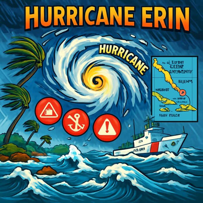
Executive Summary: Hurricane Erin has explosively intensified into a rare Category 5 storm with 160mph (260km/h) winds, marking the first major hurricane of the 2025 Atlantic season. The storm is currently moving through the Caribbean and poses significant threats of flooding, dangerous surf conditions, and coastal disruptions while not currently projected to make mainland U.S. landfall.
Detailed Summary:
1. What Happened: Hurricane Erin underwent ‘rapid intensification’ – a meteorological phenomenon where a storm’s wind speeds increase by at least 34mph within 24 hours. In just hours on Saturday, it transformed from a tropical storm into a Category 5 hurricane, with winds surging from 100mph to 160mph. This places it among the most powerful hurricane classifications, capable of catastrophic damage.
2. Current Status and Location: As of the latest reports, Erin is positioned in the Caribbean, tracking on a path that will take it north of the Leeward Islands, U.S. Virgin Islands, and Puerto Rico. Satellite imagery shows the storm’s well-defined eye and expansive circulation pattern over the Atlantic Ocean.
3. Immediate Impacts: The storm is expected to bring up to 6 inches (15cm) of rainfall to islands in its path, creating high risks of flash flooding and mudslides. The U.S. Coast Guard has imposed port restrictions at St. Thomas, St. John, and six Puerto Rican municipalities including San Juan due to gale-force winds.
4. Coastal Threats: While not forecasted for mainland U.S. landfall, Erin will generate life-threatening surf conditions and rip currents along the entire eastern U.S. coastline. Florida and mid-Atlantic states face particularly dangerous marine conditions. Bermuda also remains under threat of heavy rainfall and hazardous surf.
5. Forecasted Trajectory: The National Hurricane Center projects Erin will curve northward next week, passing east of the Bahamas before approaching North Carolina’s Outer Banks. This path keeps it offshore but within range to impact coastal regions with strong currents and elevated water levels.
6. Meteorological Context: Director Mike Brennan of the National Hurricane Center described Erin’s development as ‘explosive deepening and intensification’ fueled by unusually warm ocean temperatures. This aligns with NOAA’s prediction of an ‘above normal’ 2025 hurricane season and scientific consensus linking climate change to increased frequency of high-category storms.
7. Next Steps: Emergency management agencies across the Caribbean and U.S. Eastern Seaboard are activating response plans, focusing on flood preparedness and coastal evacuations. The National Hurricane Center continues hourly aircraft reconnaissance flights to monitor Erin’s structure and potential path deviations.

