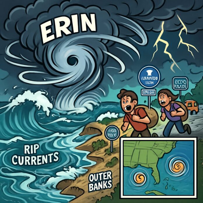
Hurricane Erin continues to generate life-threatening coastal conditions along the US East Coast while sparking concerns about new tropical developments in the Atlantic. The Category 3 storm’s expansive wind field creates widespread marine hazards despite maintaining distance from shore.
Hurricane Erin is driving extremely dangerous beach conditions along the entire Eastern Seaboard, with the Outer Banks of North Carolina facing the most severe impacts. The storm’s massive wind field extends hurricane-force winds 80 miles from its center and tropical-storm-force winds up to 230 miles, creating enormous waves and powerful rip currents across the region. Coastal communities from Florida to Maine are experiencing hazardous surf conditions.
The storm reached peak intensity as a Category 5 hurricane over the weekend after undergoing one of the fastest intensification periods in Atlantic history, jumping from tropical storm to major hurricane in just over 24 hours. Though now downgraded to Category 3, Erin maintains major hurricane status with sustained winds of 120 mph as of Tuesday morning. The system continues moving parallel to the coast on a northward trajectory.
Emergency measures are in effect across North Carolina’s barrier islands, where Dare and Hyde counties have declared states of emergency. Mandatory evacuations have been ordered for vulnerable areas of Hatteras and Ocracoke islands, where forecasters predict waves exceeding 20 feet that could destroy protective dunes and cause severe inland flooding. At least 75 rip current rescues occurred Monday along North Carolina’s southern coast, prompting Wrightsville Beach to issue swimming bans through Friday.
Beyond immediate coastal threats, Erin’s impacts extend to Puerto Rico and the Caribbean where outer bands caused significant flooding and power outages. Bermuda also faces tropical-storm-force winds and rough seas later this week. The storm’s extensive reach results from unusually warm Atlantic waters and favorable atmospheric conditions that enabled its rapid development, highlighting climate change concerns regarding hurricane intensification.
Coastal impacts will worsen midweek as Erin’s wave action coincides with monthly high tides on Wednesday and Thursday. National Park Service officials warn the combination could inundate protective dune structures in the Outer Banks, with at least two homes in Rodanthe considered ‘very vulnerable’ to collapse. Historic erosion patterns in this region make structures particularly susceptible to storm-driven waves.
Meanwhile, forecasters monitor two additional systems trailing Erin. A tropical wave following the hurricane has 60% chance of developing into Tropical Storm Fernand within seven days, while another disturbance near Africa shows potential for gradual organization. These developments signal an active peak in hurricane season, with above-average tropical activity predicted through October.
Authorities emphasize continued caution as Erin’s impacts will persist throughout the week despite no direct landfall. The National Hurricane Center maintains tropical storm watches from central North Carolina to Kitty Hawk, warning that coastal flooding and beach erosion could significantly alter shoreline geography. Residents are advised to heed evacuation orders and avoid coastal waters until conditions subside.

