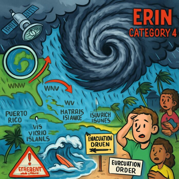
Hurricane Erin restrengthened to a Category 4 storm on Sunday, August 17, 2025, becoming the first major hurricane of the Atlantic season while threatening Caribbean islands and posing significant coastal risks to the U.S. East Coast. The expanding storm brought heavy rainfall and tropical-storm conditions to Puerto Rico and the U.S. Virgin Islands, with forecasts predicting dangerous surf conditions along the eastern seaboard in coming days.
Hurricane Erin intensified to sustained winds of 130 mph after completing an eyewall replacement cycle, a natural process where the storm temporarily weakens before reorganizing into a larger system. Located approximately 130 miles east-northeast of Grand Turk Island, the hurricane was moving west-northwest at 12 mph as of Sunday evening. Meteorologists noted the storm had significantly expanded in size, increasing its potential impact radius.
The Caribbean experienced immediate impacts with torrential rainfall flooding parts of Puerto Rico and the U.S. Virgin Islands. Radar estimates indicated 3-6 inches of rain fell across St. John and St. Thomas, while northern Puerto Rico received 2-4 inches. Local authorities maintained flood watches through Monday morning, warning of potential landslides in mountainous regions as Erin’s outer bands continued to lash the islands.
Forecast models show Erin gradually turning northward this week, steered by a weakening Bermuda High pressure system and an approaching cold front. While the storm’s center is expected to remain offshore between Bermuda and the U.S. coastline, its growing size means widespread effects will extend well beyond the core. The National Hurricane Center emphasized that direct U.S. landfall remains unlikely but coastal impacts are inevitable.
Significant coastal hazards are anticipated along the Eastern Seaboard from Florida to New England. The hurricane’s expansive wind field is projected to generate life-threatening rip currents and 8-12 foot waves by midweek, particularly threatening North Carolina’s Outer Banks. Dare County officials issued mandatory evacuation orders for Hatteras Island, requiring visitors to leave by Monday morning and residents by Tuesday due to expected beach erosion and property damage.
The storm’s rapid intensification highlights the volatile nature of late-summer hurricane development. Warm ocean temperatures and low wind shear allowed Erin to strengthen despite undergoing structural reorganization. As the season’s first major hurricane, Erin follows an unusually quiet start to the 2025 Atlantic season but aligns with typical peak activity periods in August and September.
Emergency preparations accelerated across multiple regions. Puerto Rico opened shelters in flood-prone areas while East Coast beach communities deployed additional lifeguard crews and warning systems. The National Weather Service urged coastal residents to monitor updates and avoid ocean activities starting Tuesday when surf conditions will deteriorate rapidly.
Looking ahead, meteorologists predict gradual weakening as Erin moves north into cooler waters midweek, though it will remain a large and potent hurricane through at least Wednesday. Beyond Erin, forecasters are monitoring another tropical disturbance developing in the eastern Atlantic, though its potential trajectory remains uncertain.

